Competitive Google Maps: Tips and Tricks for GeoGuessing
Summary
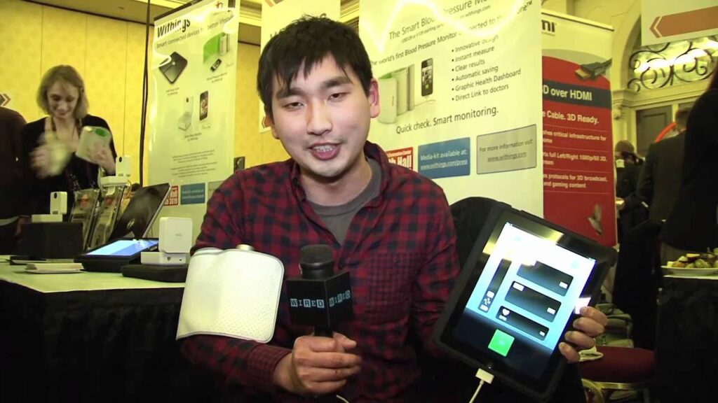
GeoGuessing is a game where players guess their location based on a single Google Maps screenshot. Wired magazine interviewed experienced GeoGuesser Trevor Rainbol to learn how he guesses countries in less than a second. This article presents tips and tricks for GeoGuessing, including learning about telephone poles and ballards, license plates, unique characteristics, and soil. By using these hints, players can narrow down their guesses and pinpoint their locations.
Table of Contents
- Is GeoGuessing legitimate?
- How do I learn about telephone poles and ballards?
- Can I use license plates to identify a location?
- How can unique characteristics help pinpoint a location?
- What role does soil play in GeoGuessing?
- How can I pinpoint my location?
Is GeoGuessing legitimate?
First, it’s natural to wonder if GeoGuessing is legitimate. It seems impossible to guess a country in less than a second. However, Trevor explains that it’s a plausible skill. He has dedicated thirteen months to studying Google Maps and learning about countries. His advice for quick GeoGuessing success is to trust your intuition.
How do I learn about telephone poles and ballards?
One of the most critical GeoGuessing tips is to learn about telephone poles and ballards. Trevor explains that utility poles with stickers or unique markings can be useful clues. Different countries use various materials on their telephone poles, and this information can help narrow down a guess. Additionally, ballards are road markings that are unique to each country. Learning about these features can be very helpful for making educated guesses.
Can I use license plates to identify a location?
A lot can be learned from license plates, but they’re often blurred in Google Maps images. Trevor suggests learning what blurred license plates look like, as well as figuring out the different types of plates used in different countries. For example, Mexico has short, colorful plates and Ecuador has short and long plates. Even the length of a plate can be a clue. Trevor cautions players, however, to not rely entirely on license plates.
How can unique characteristics help pinpoint a location?
In some cases, unique characteristics can help identify a location. For instance, the Hokkaido arrow sign, pointing at road lines, is only found in snowy areas in northern Japan. Additionally, different Google camera coverage can help differentiate between North and South Kyrgyzstan. Trevor admits that some places, such as Indonesia and Russia, are still challenging.
What role does soil play in GeoGuessing?
Soil can be a clue in GeoGuessing. The color of the soil, the vegetation around it, and other factors can be helpful in identifying a location. For example, South Chilean soil has a specific appearance. Players can use this information to make an educated guess.
How can I pinpoint my location?
Once a player has a general idea of their location, they need to pinpoint it. This involves using road signs, town names, highway numbers, and the direction of the road to find the location on the map. Trevor also suggests examining the angle of the road in the Google Maps image and referencing that with the angle of roads on the map. Denmark is an example of a country that is easy to pinpoint due to its well-labeled roads and towns.
Conclusion
GeoGuessing is a fun and challenging game that can broaden your knowledge of world geography. By using tips and tricks like learning about telephone poles, ballards, license plates, unique characteristics, and soil, players can improve their GeoGuessing skills. Remember, intuition is also an essential factor. So, keep playing, and keep learning.